Bolivia
-
North West Argentina (Bolivian border to Salta)
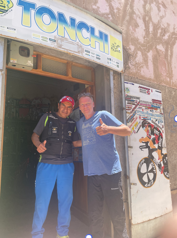
Oh the ignominy! 30km into a long 40km rise between Atocha and Tupiza and my left pedal just seized. It’s buggered. 10km from the top and the bike is stuck. Decided to roll back to Atocha and put the bike on a van and fix the pedal on the other side in Tupiza. Heartbreaking to…
-

Salar de Coipasa and Salar de Uyuni in Bolivia
Pisiga town is a hectic land crossing between Chile and Bolivia and has that border town feel that everyone wants to be somewhere else. And rightly so. Trucks, more trucks and squalid little hotel rooms and to put not too fine a point on it, it just pongs a bit. Bolivia has taken to insisting…
-
La Paz to South West Bolivia
Well, that was a ride and a half! Three weeks from La Paz riding south to the Chilean border through some very inhospitable terrain but also some absolutely breathtakingly beautiful country. The Lonely Planet has it right, Bolivia is: “…the hemisphere’s highest, most isolated and most rugged nation, it’s also among the earth’s coldest, warmest…
-
Into Bolivia
The ride through the mountains of Peru is finally at an end. That was a mere 3,471km of cycling laterally and 53,000 metres of cycling vertically that I will not forget in a hurry. There could not have been a happier nor more relieved cyclist than your correspondent as he crossed the border into Bolivia.…